
Frequently Asked Questions
WHAT IS A SPECIFIC PLAN?
A specific plan is a tool that implements the City’s general plan by establishing a link between general plan policies and individual development proposals in a defined area, in this case Downtown Burbank. A specific plan may be as general as setting forth broad policy concepts, or as detailed as providing direction to every facet of development from the type, location and intensity of uses to the design and capacity of infrastructure; from the resources used to finance public improvements to architectural design guidelines. This Specific Plan will provide a community-based vision, easy to understand development and design standards, an implementation framework for funding and building any necessary public infrastructure improvements needed to support the new development, and strategies for introducing community benefits such as public open space and pedestrian and streetscape improvements.
WHAT IS A GENERAL PLAN?
The State of California requires all cities to develop a General Plan. General Plans are comprehensive policy documents that inform future land use decisions. Cities adopt and update their General Plan to guide the current and long-term growth and land development of their community. The General Plan is a foundation for establishing goals, purposes, zoning, and activities permitted on each property to provide compatibility and continuity within a city as a whole and each individual neighborhood. Burbank2035 (adopted in 2013) is the City of Burbank’s General Plan, a long-term blueprint with policies that guide the City’s development and long-term vision.
WHY IS THIS SPECIFIC PLAN BEING PREPARED?
There is not enough housing in Burbank. The City of Burbank ranks high in terms of cost of housing and has one of the lowest vacancy rates in Los Angeles County, making it difficult for Burbank’s workforce and individuals and families of low and moderate-income levels to find affordable housing in the City. There are approximately three times as many available jobs in Burbank as housing units, which means most Burbank workers are commuting into Burbank. The shortage of affordable housing is also an issue of statewide concern. The State of California has accordingly mandated that more housing be produced locally, requiring Burbank to introduce 8,700 new residential units over the next 8 years.
To reverse this shortage, the City Council has adopted a bold and visionary goal to introduce 12,000 new dwelling units citywide by the year 2035. Approximately 2,500 – 3,500 units of this total are anticipated to be accommodated in this Downtown TOD Specific Plan area. This Specific Plan will provide a framework for introducing new housing at all levels of affordability and in a manner that reflects community aspirations for beautiful, safe, thriving, walkable, transit-oriented neighborhoods, while protecting existing neighborhoods from pass-through traffic, overflow parking, and incompatible development.
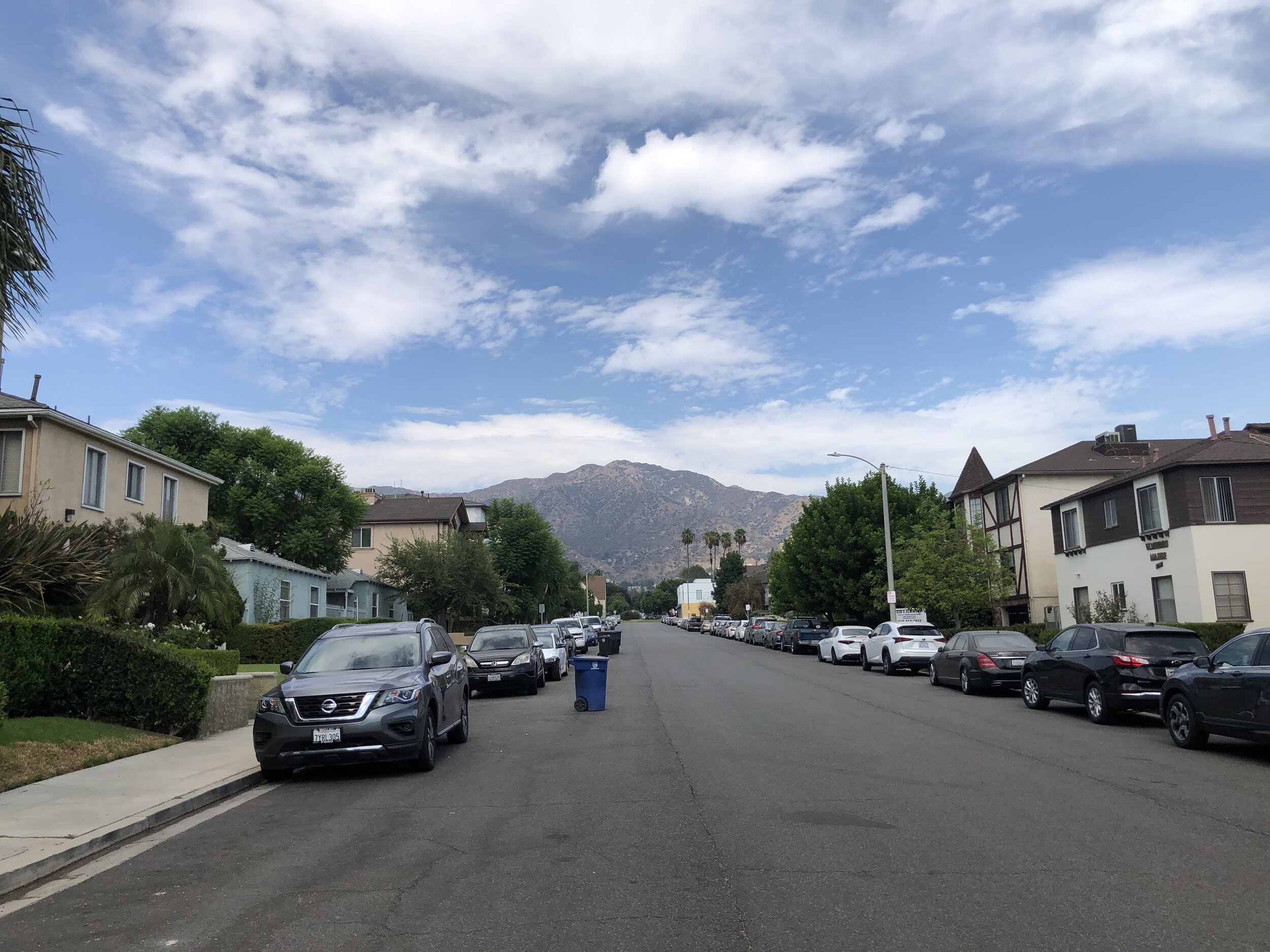
Downtown Burbank’s pedestrian and bicycle environment is deficient. There is significant pedestrian activity and moderate bicycle activity in Downtown, particularly along and within the vicinity of the San Fernando Boulevard corridor and along Glen Oaks Boulevard. While the portion of San Fernando Boulevard between Magnolia Boulevard and Olive Avenue is pedestrian-oriented, consisting of wide, active sidewalks, inviting streetscapes, and buildings that face and are accessed directly from the sidewalk, many sidewalks within the rest of Downtown are narrow, lack consistent street tree cover, and are fronted by blank walls or parking lots.

Pedestrian-unfriendly Frontage
Missing Street Tree Cover

Surface Parking Lot
In addition, the City and Plan Area is cut in half by Interstate 5 and the Southern Pacific railroad tracks, hampering pedestrian and bicycle access from one side to the other and to the Downtown Metrolink Station – a condition that is worsened by the limited freeway crossings, the high traffic volumes that travel along these crossings, and the associated poor air quality.

Poor Access to Metrolink Station

Narrow Downtown sidewalk
This Specific Plan will provide a strategy for improving the pedestrian network through the introduction of street trees, street furniture, and other streetscape elements and the implementation of pedestrian, bus stop, bikeway and street improvements, green infrastructure treatments, and priority projects described in the City’s Complete Streets Plan.
Outdated Policy and Zoning Documents. The policy and zoning documents that currently govern development within Downtown are out of date and are misaligned with current State Mandates, City goals, and the 2035 General Plan. Adopted in 1997, the Burbank Center Plan provides development standards that focus on land use, building setback, and height, but do not provide direction regarding how buildings and streetscapes should be designed to contribute to a walkable, urban environment nor how to contribute to the generation of a true sense of place.
In addition, the current Zoning Code is out of date and confusing. It favors commercial over residential uses, is contradictory, complicated, and ineffective, and does not provide predictable direction regarding building form. This Specific Plan will provide objective, transit-supportive development and design standards that enable compact, well-designed, pedestrian-friendly, residential and mixed-use projects that are suitable for a Downtown setting.
HOW IS THIS SPECIFIC PLAN FUNDED?
This planning effort is supported by funding from the Los Angeles County Metropolitan Transportation Authority (Metro) Transit Oriented Development (TOD) Planning Grant Program Round 5 Grant and a State of California SB-2 Planning Grant. Key grant goals include:
Increase access to transit
Improve the transit network and increase utilization of public transit by reducing the number of modes of transportation necessary to access regional and local transit
Further the reduction of greenhouse gases by encouraging in-fill development along transit corridors and transit use
Support and implement sustainable development principles
Increase opportunities to meaningfully engage diverse stakeholders, especially underserved and vulnerable members of the community